
When most people think about environmental site assessments, they picture a consultant walking a site with a clipboard. That's still part of the job - but drone technology has changed what's possible, particularly on large, complex, or hard to access sites. Here's what it means in practice and why it matters for your project.
Conventional ground based surveys are time consuming and, on certain sites, genuinely limited. Steep terrain, dense vegetation, active worksites, and large land parcels all create gaps in what a surveyor can physically access and observe. Those gaps become assumptions in the report, and assumptions create risk.
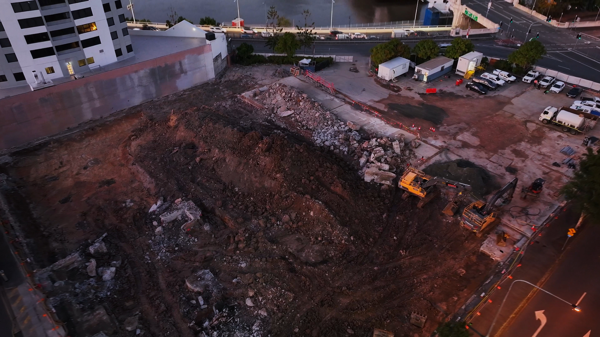
For contaminated land assessments, asbestos surveys, or pre-demolition environmental reviews, incomplete site coverage isn't just an inconvenience. It can mean missed materials, inaccurate mapping, and project delays down the track when something unexpected turns up mid works.
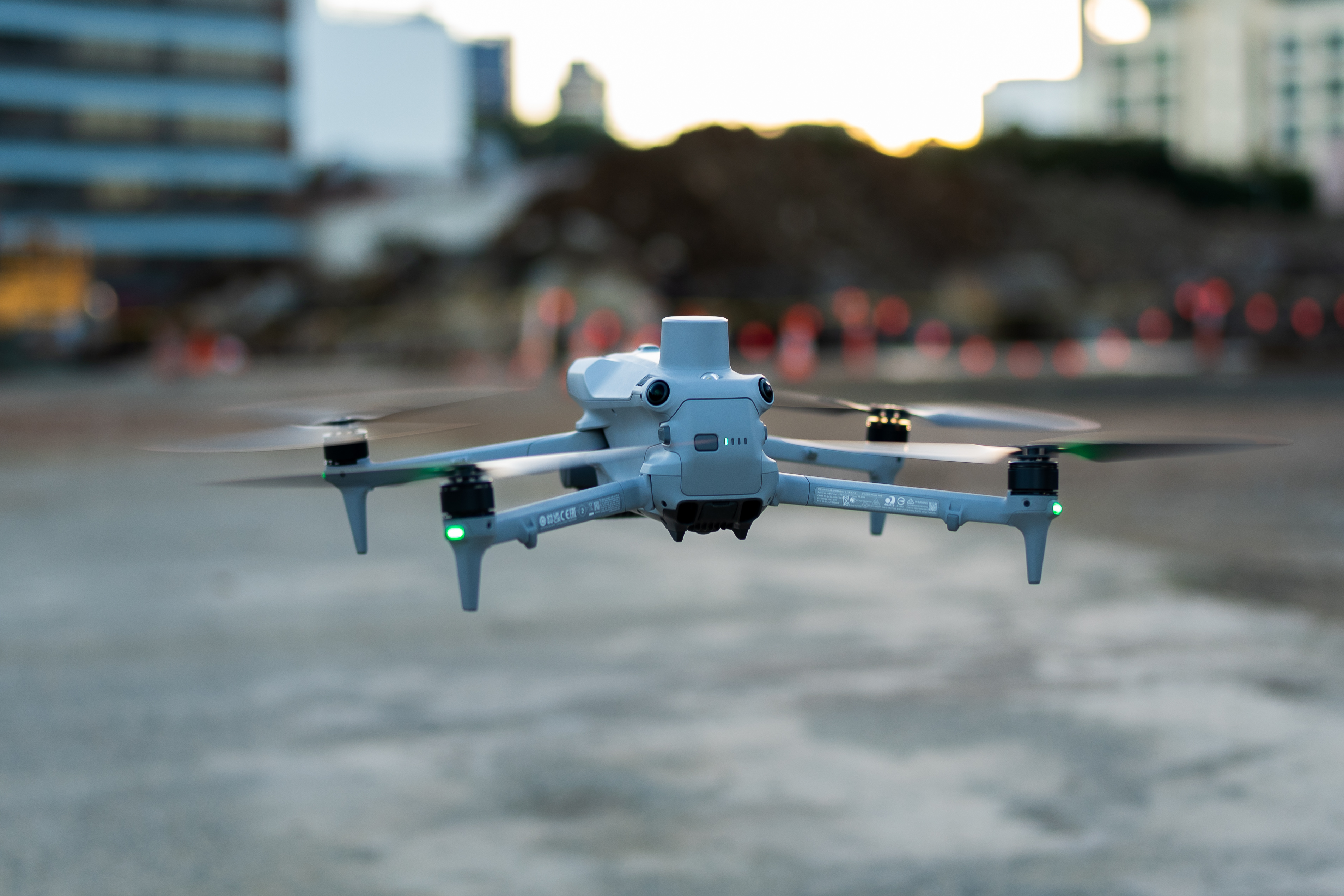
BBN uses drone assisted surveys with 3D mapping capability across a range of project types. The practical benefits come down to three things.
Coverage. A drone can survey terrain that would take days on foot in a fraction of the time. It doesn't matter if the site is steep, overgrown, or partially inaccessible. You get consistent, complete data across the whole area.
Accuracy. 3D mapping produces detailed spatial data that supports better decision making. For contaminated land projects, this means more precise delineation of affected areas. For pre-demolition work, it supports thorough identification of materials before anyone starts breaking ground.
Safety. Sending people into unstable structures, near live infrastructure, or across difficult terrain carries real risk. Drone surveys reduce the need for that exposure without compromising the quality of information gathered.
Drone surveys aren't a standalone product. They're a tool we deploy as part of broader environmental and hazardous materials assessments. That includes pre-demolition surveys where site access is restricted, contaminated land investigations across large or irregular parcels, asbestos identification where roof structures or elevated materials need inspection, and site monitoring during remediation works.
The 3D data integrates with our reporting, so you're not just getting aerial photos. You're getting spatial context that makes the report more useful and easier to act on.
Early engagement with drone assisted surveying can significantly compress the front end of a project. Instead of staged ground surveys that require multiple site visits, a single drone deployment can capture the data needed to scope the full assessment. That translates to faster reporting, earlier identification of issues, and fewer surprises when works begin.
The projects that run into trouble are usually the ones where environmental or hazardous materials assessment is left until late in planning. By that point, the site is active, access is constrained, and any findings create schedule pressure. Getting ahead of it, with better site intelligence from the start, is almost always the cheaper option.
Talk to the BBN team about drone assisted surveying for your next project.
Whether you're in the planning phase or already on site, we can advise on what's possible and scope it into your assessment program.
.webp)
.webp)